
What your readers see
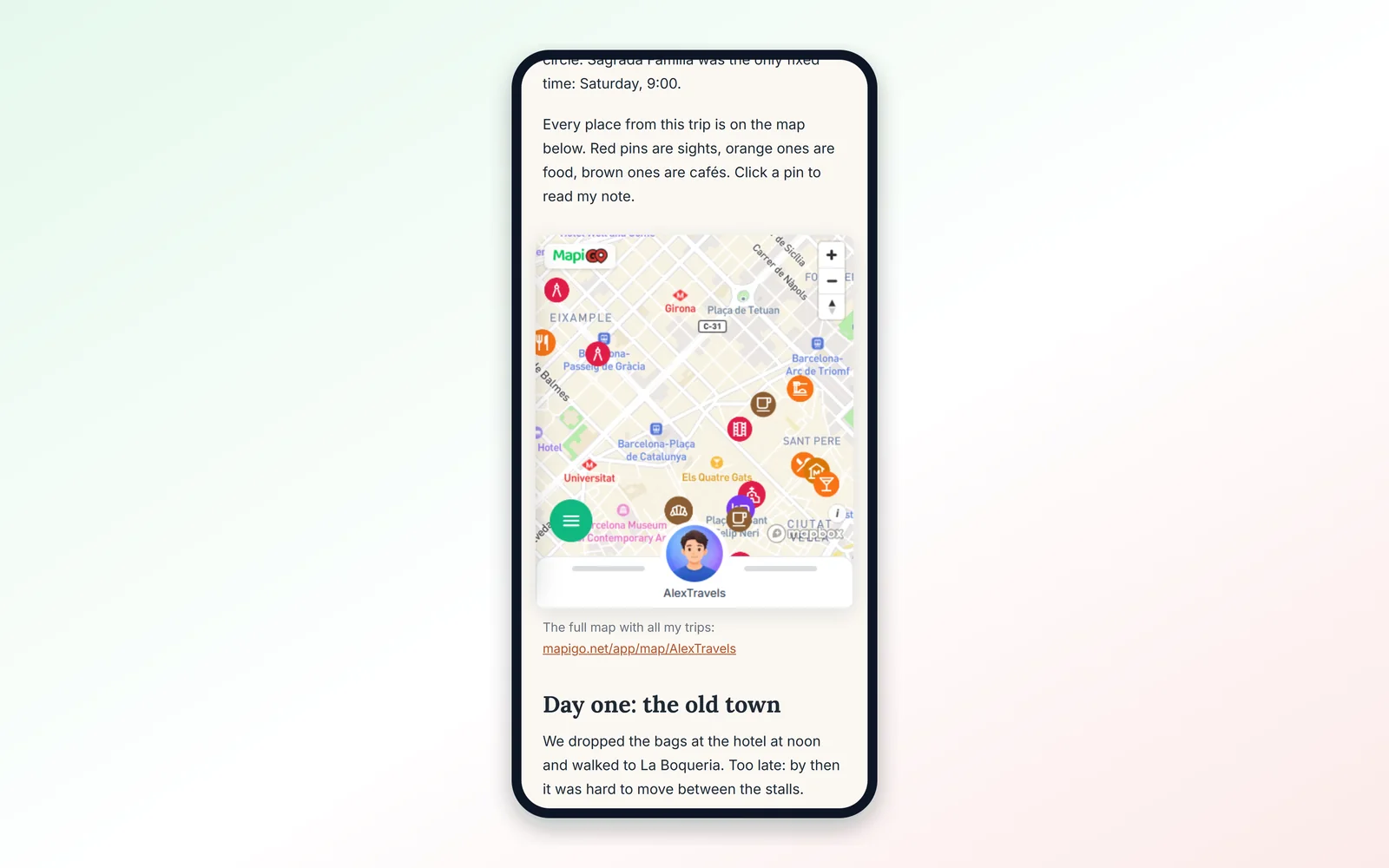
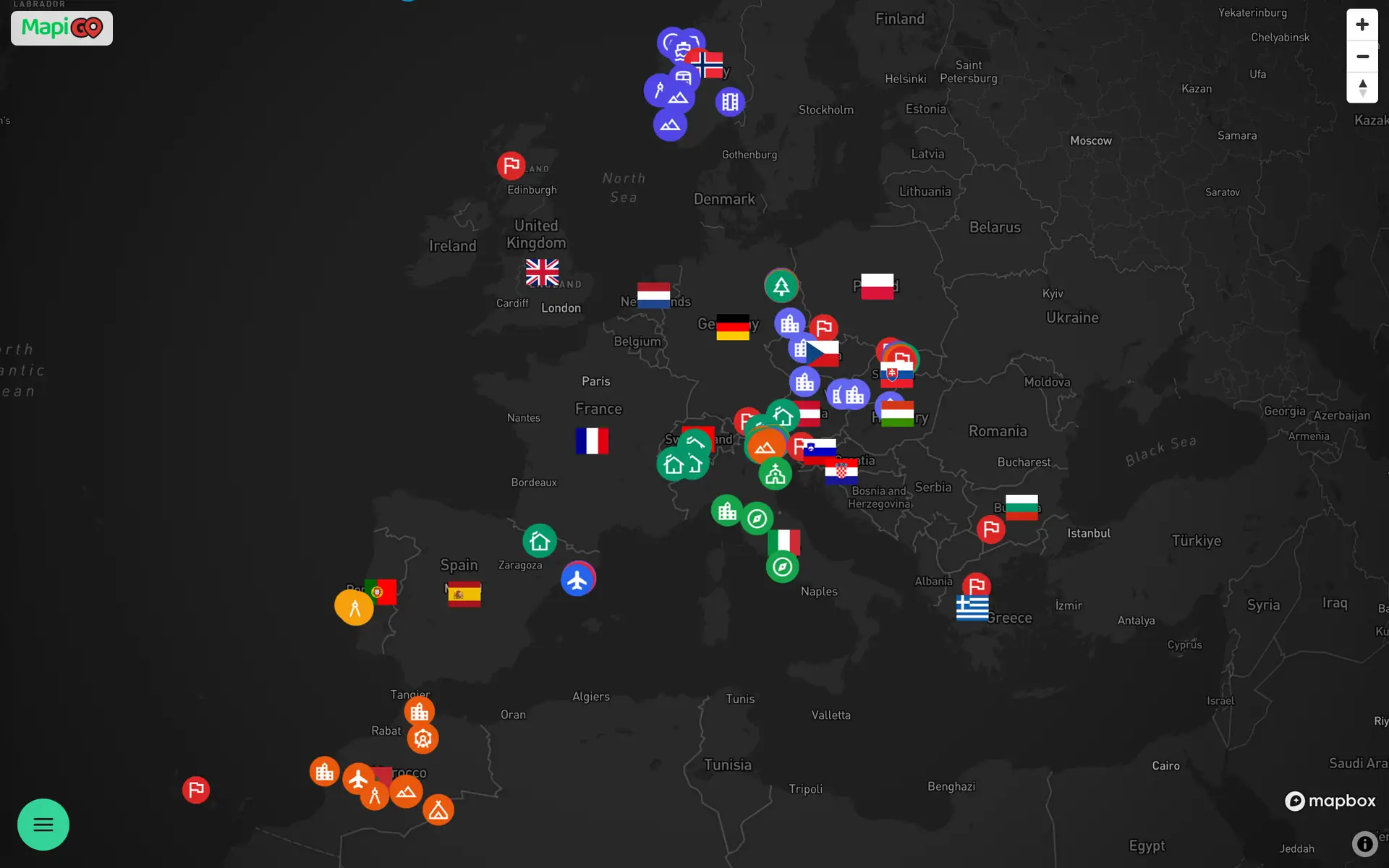
An embedded map works the same way as in the app. Readers zoom, pan and click pins to read your notes. They only see public groups and do not need a MapiGO account.
The data loads live. If you add a new place after publishing the post, it appears on your blog without changing the code.
Getting the code
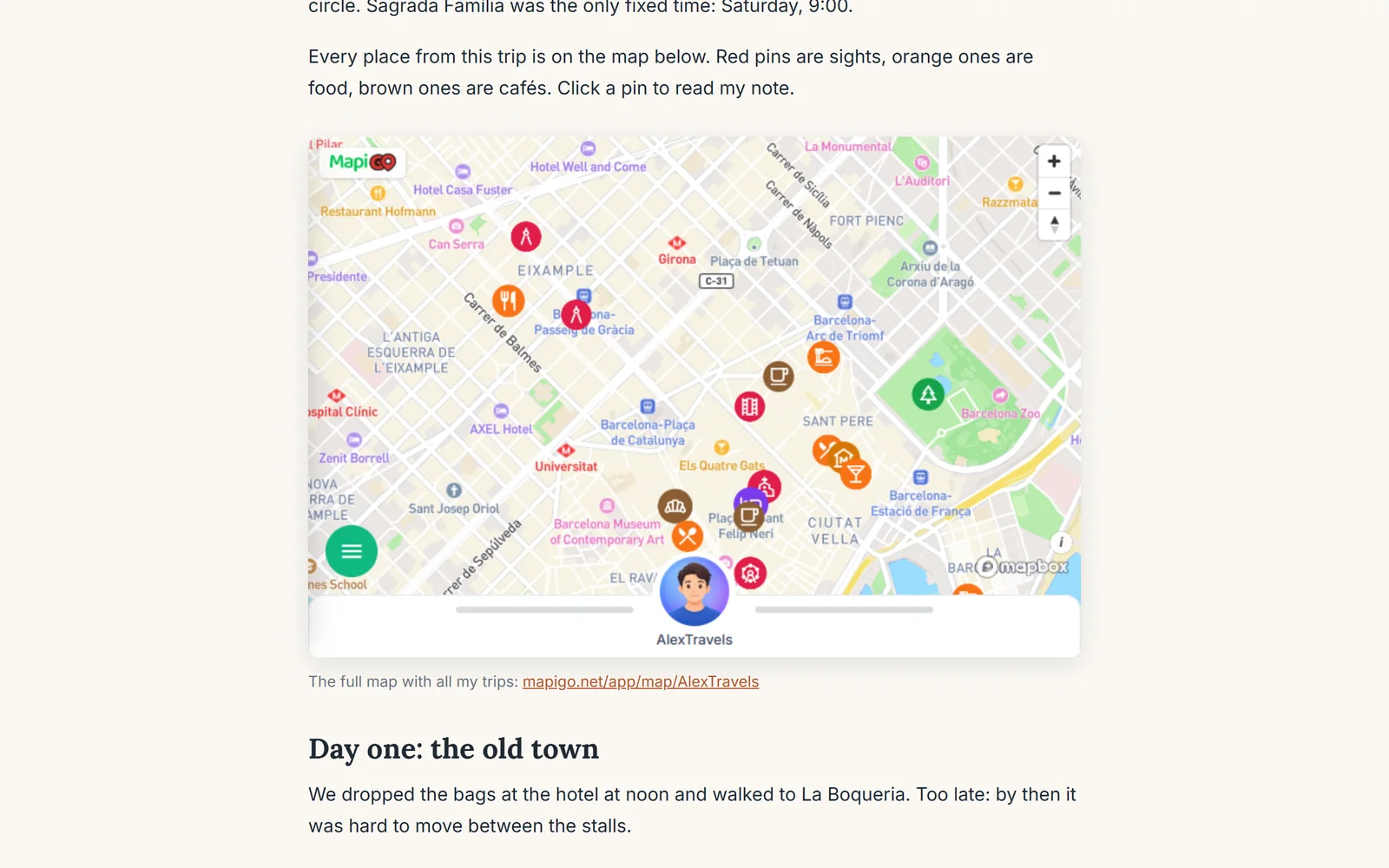
On your profile, click Share map and open the Embed tab. There you can set the map style, theme, accent colour and language. Toggles hide the profile panel under the map, the zoom buttons or the automatic fit to your markers.
The MapiGO watermark in the corner can be switched off with Premium. Below the settings you will find the code and a preview. Click Copy code.
Pasting it into WordPress
In the block editor, add a Custom HTML block and paste the code. There is one catch. The code sets the height to 100%, meaning the height of the element around it. A WordPress block has no fixed height, so the frame drops to the default 150 pixels.
The simplest fix: in the copied code, replace height="100%" with height="480". 480 pixels is enough in a text column; on a wide page you can go up to 600.
On WordPress.com, the cheaper plans strip iframe tags on publishing. The map shows in the preview and then disappears from the live page. You need a plan that supports plugins. On a self-hosted WordPress site, the Custom HTML block works for administrators and editors.
In Blogger, switch the post editor to HTML view; in Wix, use the embed code element. Set the height the same way, in pixels.
Matching the map to your site
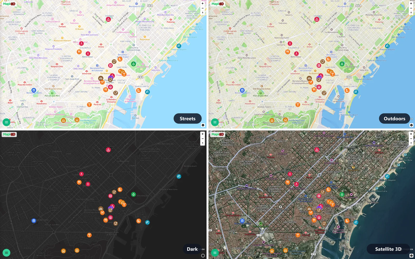
On a dark blog, a light map looks as if it came from another site. Choose the dark theme and the Dark style in the generator. Outdoors, with its terrain shading, suits mountain posts; Streets works for city stories.
The Standard 3D and Satellite 3D styles work in an embedded map if its owner has Premium.
A map of one trip
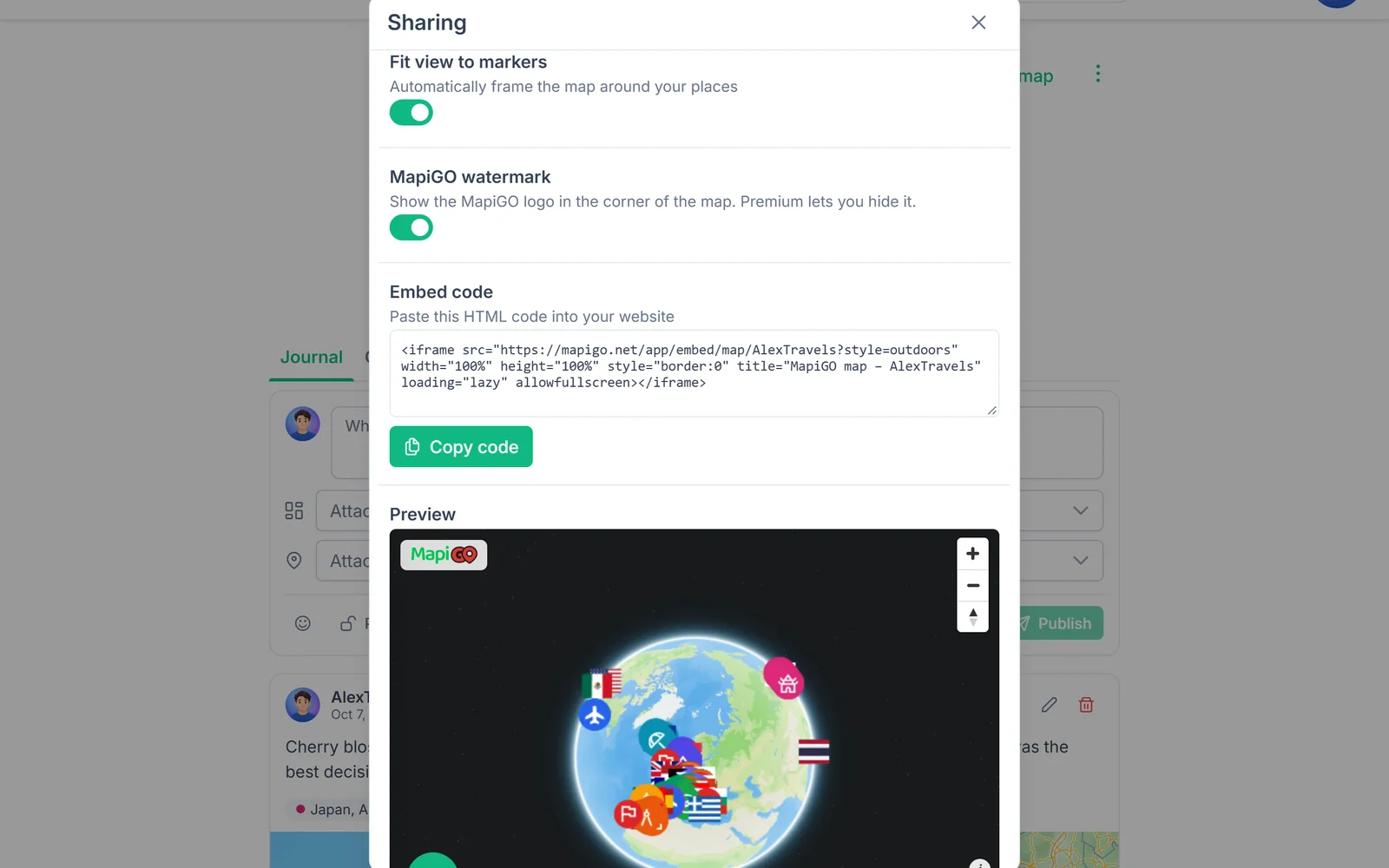
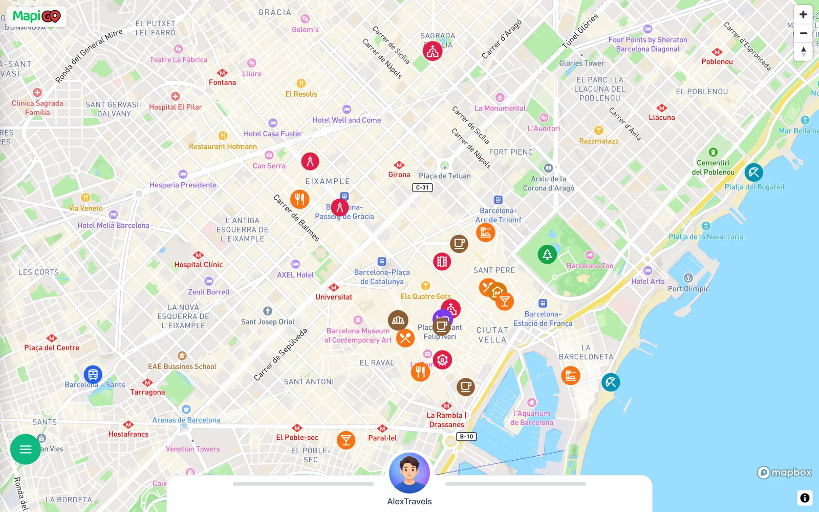
An embedded map shows all your public groups. To make a Barcelona post open on Barcelona, add ¢er=2.17,41.39&zoom=13&fit=0 to the end of the address in the code. If the address has no question mark yet, start the first parameter with ? instead of &.
In center, the first number is the longitude and the second the latitude. fit=0 turns off fitting the view to all markers. The map below is embedded exactly this way.
On phones
The code sets the width to 100%, so on a phone the map fills the whole text column. With a tall map, readers scrolling with a finger tend to start panning it by accident. A height of about 400 pixels leaves room above and below to scroll.
Add a plain link to the full MapiGO map below it. It helps readers who want the map full screen, and those reading in an RSS reader, since most readers do not display iframes.