

How the plan is set up
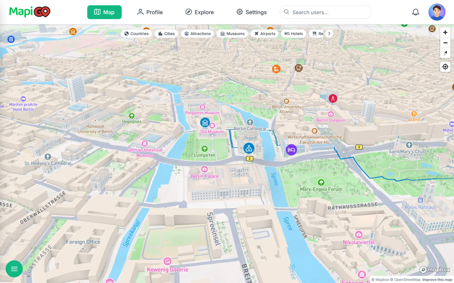
The plan covers three days in late October, arriving on Friday morning and leaving on Monday. The hotel is on the Spree, opposite Museum Island, so Saturday’s route starts a few minutes from the door.
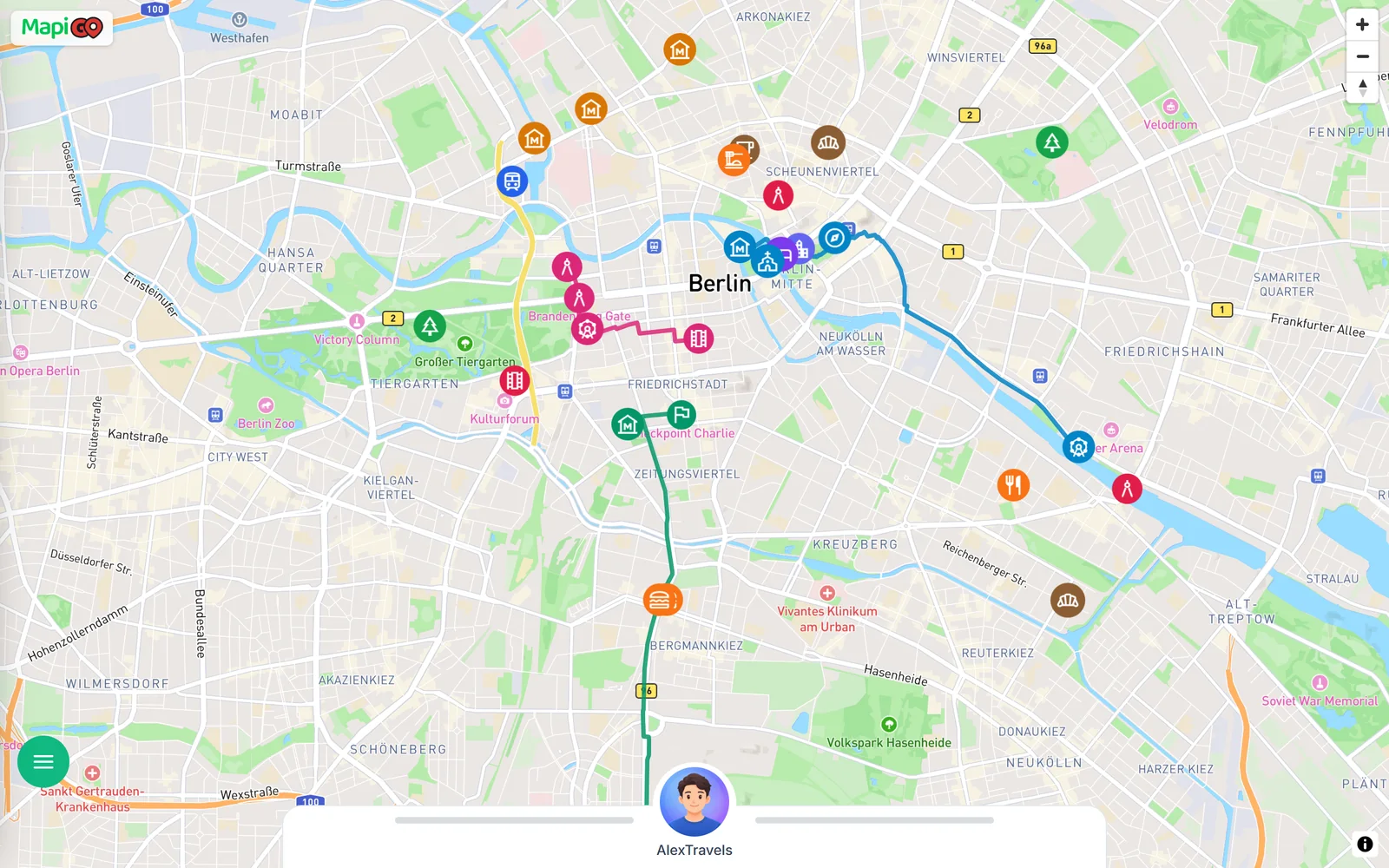
Each day is one walking route: 1.8 km on Friday, 4.5 km on Saturday and 6.2 km on Sunday. Short public transport rides connect the routes with the hotel. You can load the whole plan below as a map and click any point.
Friday: the Reichstag, Brandenburg Gate and Gendarmenmarkt
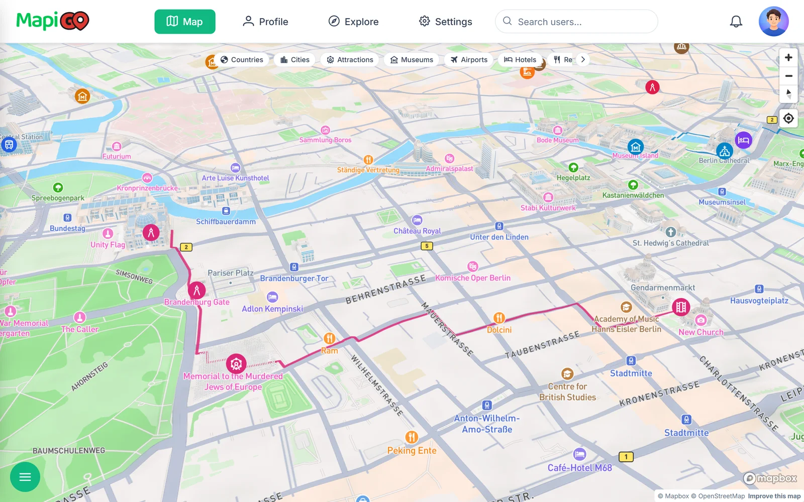
Day one is short because the train reaches Hauptbahnhof at 11:40. Entry to the Reichstag dome is free, but you have to register in advance on the Bundestag website with your name and date of birth. Without a booking, you can try the service centre on Scheidemannstraße if there are places left.
The Brandenburg Gate is a few minutes’ walk from the Reichstag. From there the route goes to the Memorial to the Murdered Jews of Europe. The field of stelae is open around the clock. The underground information centre opens Tuesday to Sunday, 10:00–18:00, and is closed on Mondays.
The day ends at Gendarmenmarkt, the square with the French Cathedral, the German Cathedral and the Konzerthaus.
Saturday: Museum Island and the East Side Gallery
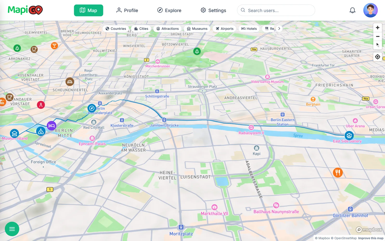
Saturday starts at Berlin Cathedral. 270 steps lead up to the walkway around the dome, and the climb is included in the cathedral ticket. The Neues Museum, home of the Nefertiti bust, uses timed tickets. This plan has a 10:00 slot.
In the afternoon the route passes the TV Tower. Its viewing deck is 203 metres up, and timed tickets are sold online.
The last stretch follows the Spree to the East Side Gallery, the longest surviving section of the Berlin Wall, covered in murals for about 1.3 km. Saturday’s route is 4.5 km in total.
Sunday: Checkpoint Charlie, Topography of Terror and Tempelhof
Checkpoint Charlie today is a reconstructed guard hut and plenty of people taking photos, so a short stop is enough. About 600 metres away, the Topography of Terror has a free exhibition on the Nazi terror apparatus. Allow at least an hour and a half.
The route ends at Tempelhofer Feld, the airfield of an airport that closed in 2008. People now cycle and skate on the old runways. Sunday covers 6.2 km.
The Berlin Wall Memorial on Bernauer Straße did not fit into the routes. Its outdoor exhibition is free, so it works as a Monday morning stop before the train.
Where to eat
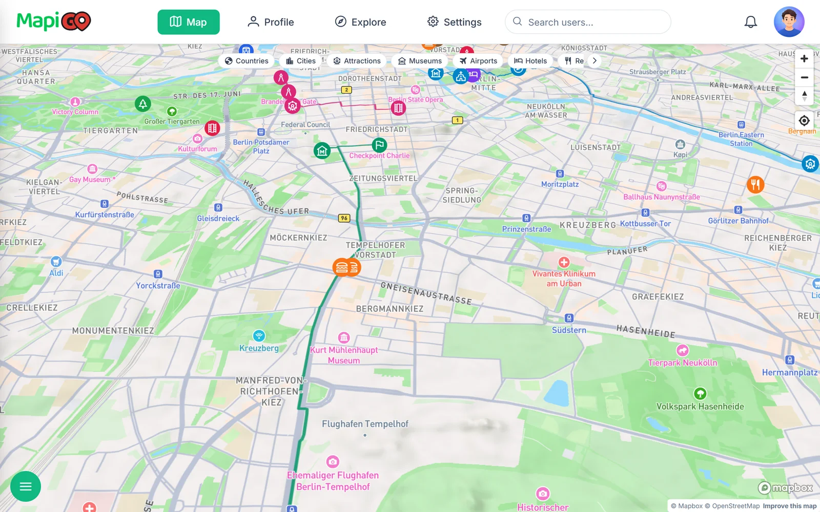
Restaurants and cafés have their own categories in the plan. With those two filters on, the map shows only food and the routes. It becomes clear that Curry 36 and Mustafa’s Gemüse Kebap are on the same street, Mehringdamm, right next to Sunday’s route.
The Barn on Auguststraße and Zeit für Brot on Alte Schönhauser Straße are close to the hotel, which makes them good for breakfast before the museums. Markthalle Neun in Kreuzberg is a food market hall. On Thursdays from 17:00 to 22:00 it hosts Street Food Thursday.
Making a plan like this for your trip
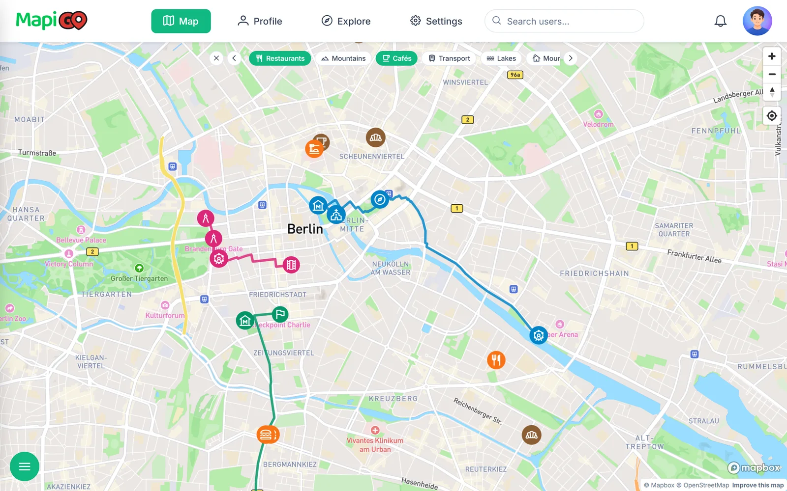
In MapiGO, each day is a separate walking route in the trip’s group. Click the starting point, choose Add trail and mark the next places in order. The line follows footpaths, and every point shows the distance from the previous one.
It is easiest to start each route at the hotel or a station. Put museums with timed tickets early in the day and leave the places without bookings for the afternoon, when the schedule tends to slip anyway.